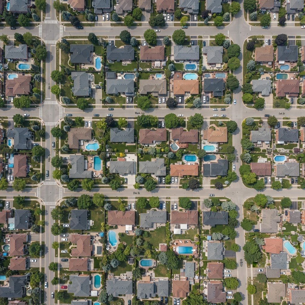
Ask your sky anything.
Live high-resolution aerial imagery — captured seconds ago, not years.
Could y
≤10s
Live frame refresh rate
5×5 km
Ground coverage per frame
24 mm
Smallest detectable object — a quarter coin
24/7
Autonomous patrol coverage
Three steps from
question to certainty.
Ask
Log in and type your question in plain English. No coordinates, no flight plans — just what you want to know, anywhere in a covered city.
Task
Aeriel routes your question to the nearest patrol drone, which captures a fresh ultra-high-resolution still of your area — never older than 10 seconds.
Know
Our AI reads the live frame and answers you with imagery, exact coordinates and shareable reports. Not video — just the sharpest possible moment in time.
Satellite imagery sees everything — but you can’t book a satellite to check on your cat, and a ground camera only sees what’s right in front of it. Aeriel sits in between: a live, on-demand look at the places you care about — the layer the sky was missing.
Wide coverage, but booked months out and priced for governments — far too slow and expensive to answer a personal question.
Always on, but fixed to one spot. They only see the corner they were mounted on.
Fresh, affordable eyes on demand — pointed exactly where you need them, seconds after you ask.
One lens over your city.
A thousand answers.
Any situation, any address, any city. If you can ask it, Aeriel can look at it.
Family Safety
Find a missing child on a bike ride, check the route home from school, or watch the park where they play.
Second Homes
After a storm, ask if there is water on the roof in Naples or a tree on the deck in Tahoe — from a thousand miles away.
Roof & Solar
Spot cracked panels, missing shingles and hail damage without ever climbing a ladder or paying for an inspection.
Insurance Evidence
Time-stamped, geo-referenced live captures and PDF reports to back your claims with indisputable proof.
Real Estate
See the neighborhood as it is today — not as the listing photos from two summers ago pretend it is.
Community & Events
Check beach crowds, parking at the stadium, or the farmers market before you leave the house.
Construction
Watch your build progress weekly with dated, high-resolution frames of your site from above.
Land & Ranch
Inspect fences, irrigation and herd movement across your property without driving every acre.
Maps show the past.
Aeriel shows now.
We're a proof of concept.
Come shape the product.
Aeriel is in its earliest stage. We're assembling a small group of beta partners — homeowners, insurers, public-safety teams — to tell us what the sky should answer next. Tell us who you are and we'll reach out.
PREFER EMAIL? INFO@AERIEL.IO